Table of Contents
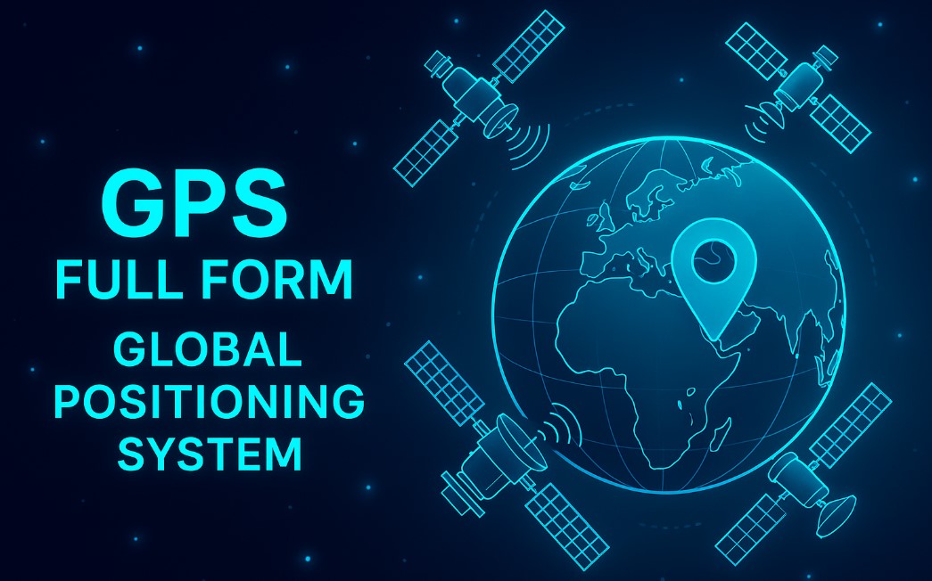
The Full form of GPS is Global Positioning System. The GPS is a satellite-based navigation system. It is owned by the United States Space Force. It is operated by Mission Delta 31. GPS is one of the global navigation satellite systems (GNSS). It provides GPS receivers with time and location data.
What is GPS?


GPS works anywhere on or near Earth. The receiver must have a clear view of four or more satellites. The user does not have to send any data to the GPS. It works without a phone or the internet. But phones and the internet can make GPS more useful.
GPS is crucial for commercial, military, and civilian applications. It was established and is governed by the US government. However, it is free to use for anybody with a GPS receiver. At first, civilian use had limits. The accuracy was reduced on purpose to about 100 meters. This was done through a system called Selective Availability (SA). Military users could correct this error.
Must Check – List of All Full Form
GPS History
The GPS project began in 1973 in the USA. It was started to solve the problems of old navigation systems. The U.S. Department of Defence developed it for military use. At first, it had 24 satellites. The system became fully active in 1993. Civilian use started in the 1980s.
Several people are credited with creating GPS. They are Roger L. Easton, Ivan A. Getting, and Bradford Parkinson. Gladys West also played a key role. She helped develop the math needed to make GPS accurate.
GPS is based on older systems like LORAN and the Decca Navigator System. These were made in the 1940s. In 1955, a scientist named Friedwardt Winterberg suggested putting atomic clocks in satellites. These clocks help GPS stay accurate. Without correction for time differences in space, GPS would have big errors.
In 1957, the Soviet Union launched Sputnik 1. Scientists in the U.S. quickly realized they could track satellites using radio signals. This led to the TRANSIT system. It was first tested in 1960. TRANSIT used 5 satellites and could give a location fix every hour. Later, in 1967, the U.S. Navy launched Timation satellites. These proved that atomic clocks in space were possible.
The OMEGA system provided worldwide navigation in the 1970s. But it was not accurate enough. This pushed the need for something better, like GPS.
The Cold War made GPS urgent. U.S. submarines needed precise positions to launch missiles. The Air Force also wanted better navigation for bombers and missiles. Both the Navy and Air Force worked on this problem.
In 1960, the Air Force proposed MOSAIC, a 3D navigation system. This idea led to Project 57 in 1963. From this, the GPS concept was born. Project 621B followed and shaped GPS further.
The Navy continued working on Timation satellites. In 1977, they launched a satellite with the first atomic clock. This was a big step toward GPS. The Army introduced SECOR, another early system, in 1964. It helped with land surveys. The last SECOR satellite flew in 1969. All these projects together led to the GPS we use today.
Do Check: AICTE Full Form


GPS Development
The development of GPS came from combining the best technologies of the 1960s. These included 621B, Transit, Timation, and SECOR systems. Errors from satellite positions and gravity fields had to be corrected. A team led by Harold L. Jury worked from 1970 to 1973. They used real-time data and reduced these errors to allow accurate navigation.
In 1973, a small group of military officers met at the Pentagon. They discussed creating a Defense Navigation Satellite System (DNSS). This meeting created the foundation for GPS. Later that year, the project was named Navstar. Although many people think Navstar stands for something, it is not an acronym. TRW had earlier suggested a different system using that acronym.
Ten Block I prototype satellites were launched from 1978 to 1985. One of these launches failed. The satellites were referred to as Navstar satellites. Together, they made up the Navstar-GPS system.
Air Force scientists also worked on how the ionosphere affected GPS signals. In 1974, Elizabeth Essex-Cohen studied how radio waves bent through the ionosphere. This work helped create the Klobuchar model, which corrects ionospheric errors in GPS.
In 1983, Korean Air Lines Flight 007 was shot down after straying into Soviet airspace. After this tragedy, President Ronald Reagan announced that GPS would be available for civilian use after its completion.
The first Block II satellite was launched on 14 February 1989. The 24th satellite was launched in 1994. The GPS program cost roughly $5 billion in total, which would be $11 billion in 2024.
Selective Availability and Civilian Use
At first, the best-quality GPS signals were only for military use. Civilian users received a degraded signal. This was called Selective Availability. In May 2000, President Bill Clinton ordered it turned off. This gave civilians the same accuracy as the military.
Secretary of Defense William Perry proposed this change. By then, private companies were already improving GPS accuracy through differential GPS. Later, new GPS satellites, known as GPS-III, were launched. These did not include Selective Availability.
Do Check: ADB Full Form
GPS Improvements and Modernization
The U.S. has continued to improve GPS. New signals were added for civilian use. Accuracy and reliability also improved. Compatibility with older equipment was maintained. By 2015, most civilian receivers provided accuracy better than 3.5 meters.
GPS is run by the U.S. government. The Department of Defense manages it as a national resource. From 1996 to 2004, the Interagency GPS Executive Board (IGEB) handled GPS policy. In 2004, the National Space-Based Positioning, Navigation, and Timing Executive Committee took over this role.
This committee includes members from Defense, Transportation, State, Commerce, Homeland Security, NASA, and the Joint Chiefs of Staff. The U.S. government is required by law to maintain GPS operationally and continuously throughout the world. Additionally, it must guarantee that GPS is safe from malicious use without endangering its civilian users.


GPS Principles
GPS satellites have atomic clocks. These clocks are very accurate. They stay in sync with ground clocks. If there is any error, it is corrected. Radio waves travel at the speed of light. This speed does not change. The time delay shows the distance. Ground stations collect this data.
They calculate the exact satellite position. Satellites send signals all the time. These signals include time and location. A GPS receiver needs four satellites. It uses these to find its position. It calculates latitude, longitude, and height. It also fixes its own clock. This gives a position in space and time.
GPS Structure
The current GPS has three main parts. These are the user, control, and space segments. The space & control components are operated by the U.S. Space Force. They build, maintain, and operate them. GPS satellites send signals from space. Receivers on Earth catch these signals. They use them to find their location. The receiver gives latitude, longitude, and altitude. It also shows the current time.
Do Check: ACC Full Form
GPS Non-navigation Applications
GPS needs four or more satellites. These satellites help in accurate navigation. The receiver solves navigation equations. It finds the user’s position and time error. This removes the need for costly clocks. GPS time is used in many things. It helps in time transfer and traffic signals. It also helps in mobile tower timing.
Some GPS devices show this time. Some only use it for location. Four satellites are usually needed. But sometimes three satellites are enough. This is possible if height is known. For example, ships are at sea level. Aircraft height is often already known. Some receivers use extra methods. They reuse the last known height. They use dead reckoning or inertial systems. Vehicle data can also help. These ways give a rough position with fewer satellites.
Awards for GPS Contributions
GPS has received many awards for its impact on technology and society. Below is a table highlighting the major awards received for contributions to the development and advancement of GPS technology.
| Year | Award | Recipient(s) | Contribution / Reason |
| 1993 | Robert J. Collier Trophy | GPS Team (USAF, Naval Research Lab, Aerospace Corp, etc.) | Significant advancement in safe and efficient navigation systems. |
| 1998 | Space Technology Hall of Fame | GPS Technology | Contribution to space technology and navigation systems. |
| 2003 | Charles Stark Draper Prize | Ivan Getting, Bradford Parkinson | Foundational work in developing GPS from earlier navigation systems. |
| 2006 | National Medal of Technology | Roger L. Easton | Key role in inventing and developing GPS technology. |
| 2010 | Air Force Space and the Missile Pioneers Hall of Fame | Francis X. Kane | Engineering contributions through Project 621B for GPS development. |
| 2011 | IAF 60th Anniversary Award | GPS Program | International collaboration and advancements in space technology. |
| 2018 | Air Force Space and the Missile Pioneers Hall of Fame | Gladys West | Work on accurate Earth modeling essential for GPS orbits. |
| 2019 | Queen Elizabeth Prize for Engineering | Four Founding GPS Members (names not listed) | Transforming infrastructure through precise GPS technology. |
GPS Full Form FAQs
What is a mobile phone's GPS?
The GPS on a mobile phone uses satellites. It helps to find the phone’s location on Earth. The phone receives signals from the satellites. It calculates its position using these signals.
What is GPS's basic idea?
The GPS relies on trilateration, which determines a receiver's position by measuring its distance from multiple satellites.
What is a GPS example?
Navigating involves moving from one place to another. Tracking: keeping an eye on an object's or person's movements. Making maps of the world is called mapping. Bringing accurate timing to the world.


