
Class 9 History Map Work Chapter 6 Peasants and Farmers
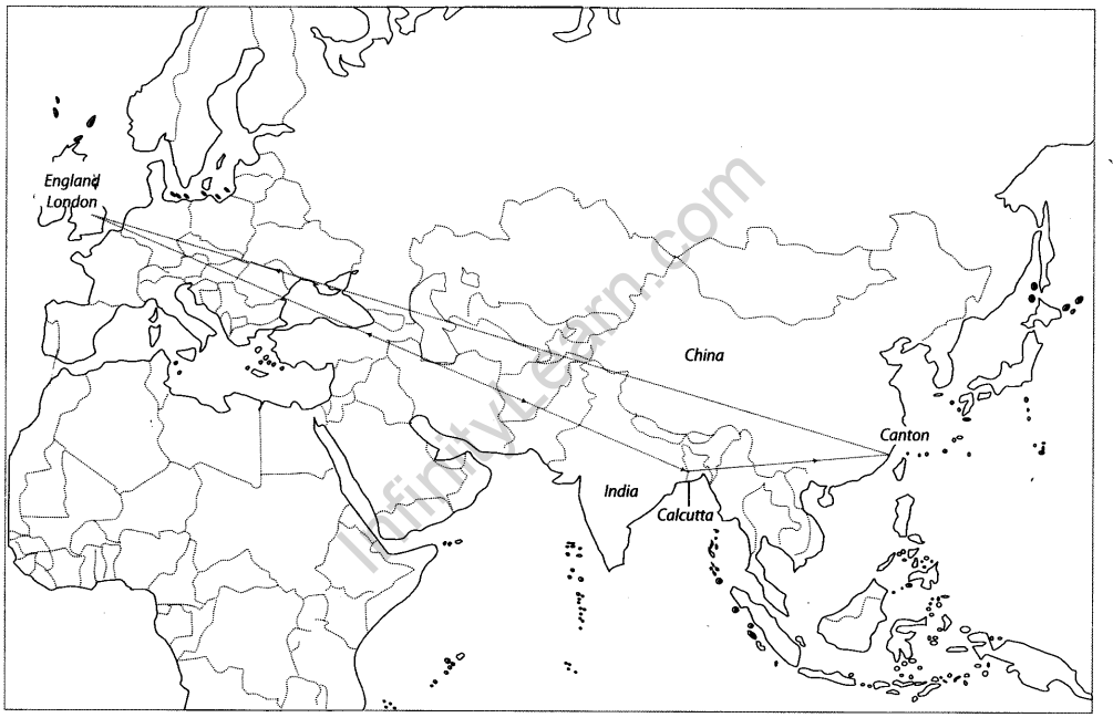
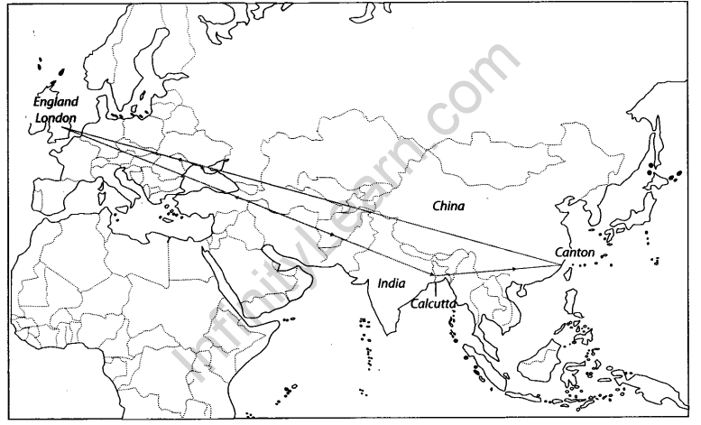
The Triangular Trade
The map shows the Triangular Trade in History. Triangular trade, is a historical term meaning trade among three ports or regions.
Question 1.
Locate and label the following items on the given map with appropriate symbols.
1 Triangular trade between India and the world

Answer:
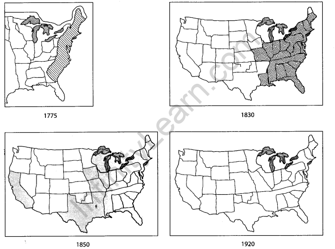
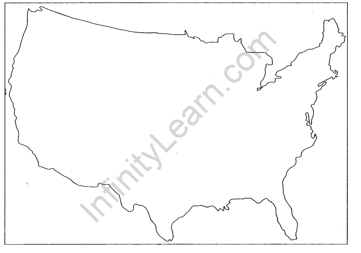
The Westward Expansion
This map shows the westward expansion of United States of American.

Question 2.
Locate and label the expansion of White Settlement from 1775 to 1920 in the given map.

Answer:
Forest and Grasslands in the USA before the Westward Move
This map shows the forests and grasslands in the USA before its westward expansion.
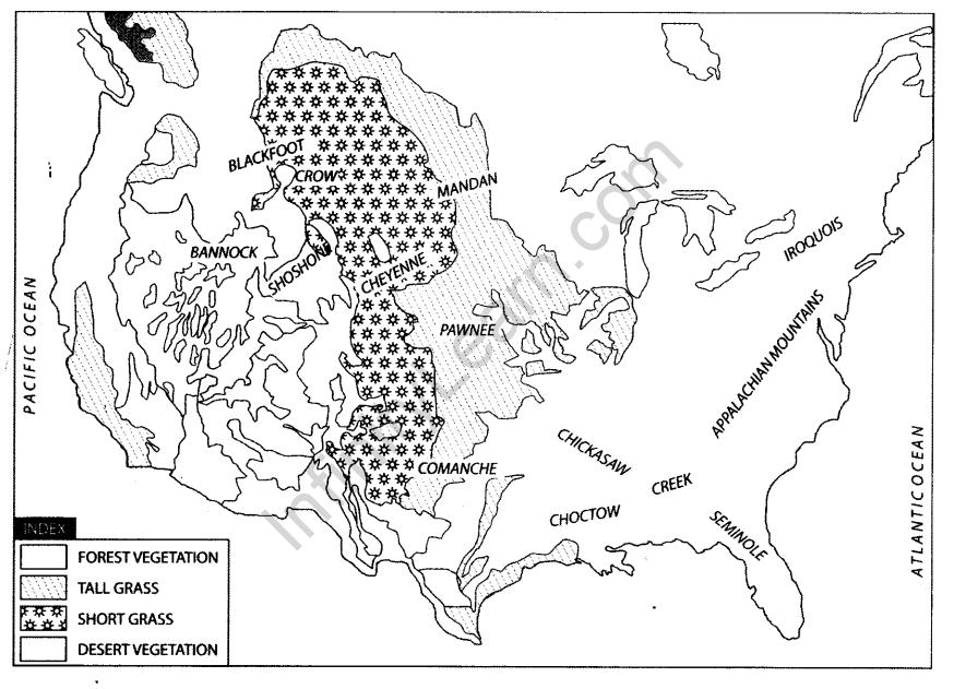
Question 3.
Locate and label the following items on the given map with appropriate symbols.
1 Tall Grass
2 Short Grass
Answer:

Captain Swing Movement
This map shows the regions affected by the Captain Swing Movement.

Question 4.
Local and label the following items on the given map with appropriate symbols.
1 The Eastermost area where the least number of machines were broken.
2 The Eastermost area where 49 machines were broken.

Answer:

Enclosures of Common Field-England
This map shows the enclosure of common field by Parliamentary Acts in England.
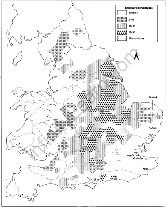
Question 5.
Local and label the following items on the given map with appropriate symbols.
1 A region with a percentage between 5 and 10 per cent of enclosure
2 A region with high percentage (greater than 50 per cent) of enclosure

Answer:

We hope the given CBSE Class 9 History Map Work Chapter 6 Peasants and Farmers will help you. If you have any query regarding NCERT Class 9 History Map Work Chapter 6 Peasants and Farmers, drop a comment below and we will get back to you at the earliest.
