Table of Contents
Dive into Zoom Earth for live satellite views and cyclone tracking. Discover its educational uses for Earth Day through interactive earth drawings and save earth posters.
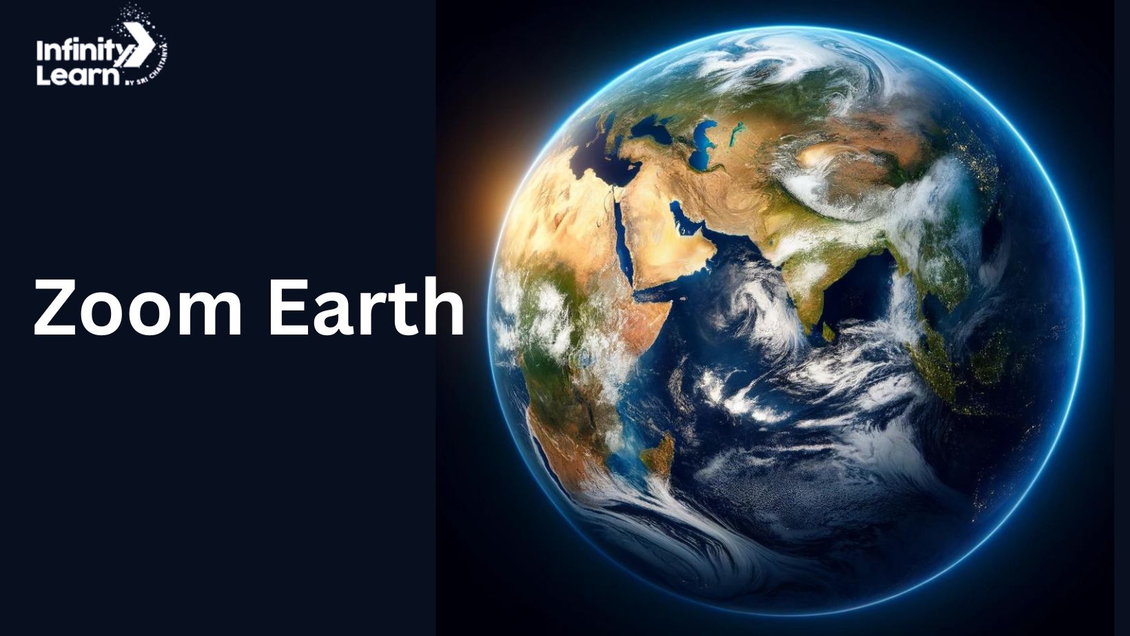
Discover the dynamic capabilities of Zoom Earth, a compelling online platform that provides live satellite images and detailed visual information about Earth. From tracking formidable cyclones to engaging in educational activities during Earth Day, Zoom Earth brings the planet’s geographic and meteorological phenomena directly to your screen. This powerful tool is an invaluable resource for educators, students, environmentalists, and anyone interested in real-time data about our planet.
Understanding Zoom Earth


- What is Zoom Earth? Zoom Earth is a web-based application that offers real-time and historical satellite imagery. It allows users to observe weather patterns, natural disasters, and other significant environmental changes as they happen.
- Features of Zoom Earth: The platform stands out for its comprehensive features, including zoom capabilities that offer close-up views of different regions, live weather updates, cyclone tracking, and the ability to see the effects of environmental changes over time. These features make it an essential tool for real-time environmental monitoring.
Zoom Earth for Environmental Monitoring
- Tracking Cyclones: One of the most critical uses of Zoom Earth is in tracking cyclones, storms, and hurricanes as they develop and move across the globe. Users can follow the path of these storms in real-time, which is crucial for disaster preparedness and response. For instance, during Cyclone Amphan, Zoom Earth provided detailed visual updates that helped authorities and citizens brace for impact.
- Climate Change Observation: Beyond storm tracking, Zoom Earth plays a significant role in observing the effects of climate change. It allows scientists, researchers, and the public to visualize changes in ice cover, deforestation rates, and more, providing compelling visual evidence of the planet’s changing climate.


Educational Uses of Zoom Earth
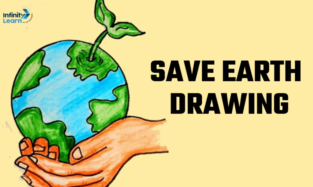
- Earth Day Celebrations: Each year, Zoom Earth becomes a focal point for Earth Day celebrations, offering teachers and students the opportunity to explore diverse geographical landscapes and environmental phenomena. It is a fantastic resource for activities such as “save earth drawing” and “earth day drawing,” where participants create artworks inspired by the images seen on Zoom Earth.
- Geography and Earth Sciences: For educators, Zoom Earth is a treasure trove of teaching materials. It provides an interactive way to show students how different geographical features and climatic conditions look from space, enhancing their understanding of the planet’s geography and environmental sciences.
Creative Expressions on Zoom Earth
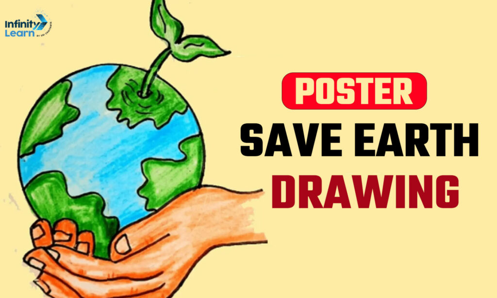
- Earth Drawings and Posters: Artists and students often turn to Zoom Earth for inspiration, using the detailed images it provides to create drawings and posters that highlight the beauty and fragility of our planet. These artworks often carry messages of conservation and awareness, such as “poster save earth drawing,” which promotes environmental sustainability.
- Community Engagement: Zoom Earth fosters community engagement by providing a platform for collaborative projects focused on environmental advocacy. Schools, environmental clubs, and community groups use Zoom Earth images in campaigns and exhibitions to educate the public about the importance of preserving our environment.
Impact of Zoom Earth on Environmental Awareness
- Raising Awareness: Zoom Earth has significantly contributed to raising public awareness about environmental issues. By providing real-time, accessible views of Earth, it allows people to see firsthand the impact of human activities and natural disasters on the environment.
- Supporting Research: The detailed data available through Zoom Earth supports a wide range of research activities. Environmental scientists use this data to track changes, predict future environmental conditions, and develop strategies for conservation and sustainability.


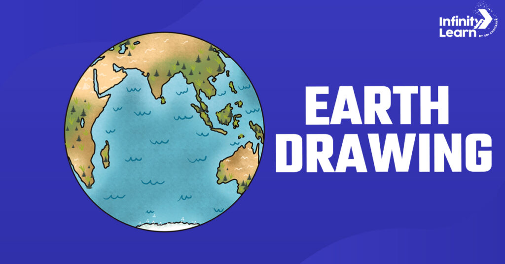
Earth Drawing
Poster Save Earth Drawing
Conclusion
Zoom Earth serves as more than just a tool for viewing live images of Earth; it is a comprehensive educational resource that enhances learning, fosters environmental awareness, and supports scientific research. By making geographic and meteorological data accessible to a broad audience, Zoom Earth plays a crucial role in educating and inspiring action towards the sustainable stewardship of our planet.


